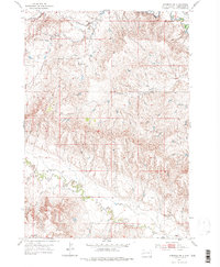
1953 Map of Hermosa NE
USGS Topo · Published 1976About this map
Spring Creek and the St Germaine Ditch define the northeastern drainage of this western South Dakota landscape, where the topography transitions between seasonal watercourses and upland plains. The mid-century settlement pattern is anchored by a network of rural schoolhouses, including Reich Sch in the north and North Star Sch toward the southern boundary. These local landmarks, along with Mann Sch and Dodge Sch, reflect the distributed nature of the ranching and farming community during this era.
Find a feature on this map
11 named features on this map. Tap any name to fly to it.
Don’t see what you’re looking for? This feature index may not catch every label — zoom into the map to look around manually.
Map Details
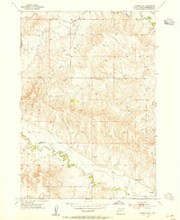
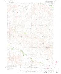
Editions of this 1953 Hermosa NE Map
3 editions found
Other maps of this area

1893 · Rapid
USGS Topo · 1:125,000

1894 · Hermosa
USGS Topo · 1:125,000

1898 · Rapid
USGS Topo · 1:125,000

1901 · Hermosa
USGS Topo · 1:125,000

1903 · Rapid
USGS Topo · 1:125,000

1953 · Boxelder
USGS Topo · 1:24,000

1953 · Hermosa NW
USGS Topo · 1:24,000

1953 · Rapid City East
USGS Topo · 1:24,000

1953 · Hermosa
USGS Topo · 1:24,000

1953 · New Underwood SW
USGS Topo · 1:24,000