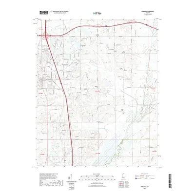
2021 Map of Hernando
USGS Topo · Published 2021About this map
Hernando serves as the focal point of this Northwest Mississippi landscape, where the DeSoto County Courthouse stands as a central landmark for researchers of civic history. The geography is defined by a series of south-flowing drainages including Mussacuna Cr, Cane Cr, and Caney Cr, all moving toward the Coldwater River at the southeastern edge of the quadrangle. Smaller settlements like Bright and Love provide a look at the rural communities that historically branched out from the county seat.
Find a feature on this map
132 named features on this map. Tap any name to fly to it.
Don’t see what you’re looking for? This feature index may not catch every label — zoom into the map to look around manually.
Map Details
Editions of this 2021 Hernando Map
This is the sole edition of this map. No revisions or reprints were ever made.
Other maps of this area

1932 · Horn Lake
USGS Topo · 1:48,000

1932 · Crenshaw
USGS Topo · 1:62,500

1935 · Crenshaw
USGS Topo · 1:62,500

1935 · Horn Lake
USGS Topo · 1:62,500

1944 · Senatobia
USGS Topo · 1:62,500

1944 · Hernando
USGS Topo · 1:62,500

1948 · Helena
USGS Topo · 1:250,000

1950 · Helena
USGS Topo · 1:250,000

1955 · Helena
USGS Topo · 1:250,000

1956 · Tupelo
USGS Topo · 1:250,000