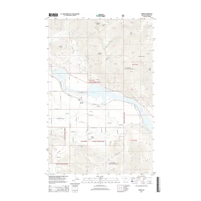
2014 Map of Heron
USGS Topo · Published 2014About this map
Heron sits along the southern banks of the Cabinet Gorge Reservoir where the Clark Fork river widens through Sanders County. This 2014 survey captures the community's interface with the Kanisku National Forest and the heavy transport corridor of the BNSF Railway. The landscape is defined by the steep elevation gains into the Cabinet Mountains, reaching toward landmarks such as Star Peak and the curiously named Billiard Table. Local geography is deeply etched by numerous drainages like Napoleon Gulch, Beaver Gulch, and Star Gulch. For genealogists and local historians, the map identifies the Heron Cem and a network of rural roads such as Smead Bench Rd and Fatman Rd that provide access to the timbered ridges and narrow creek bottoms surrounding the townsite.
Find a feature on this map
69 named features on this map. Tap any name to fly to it.
Don’t see what you’re looking for? This feature index may not catch every label — zoom into the map to look around manually.
Map Details
Editions of this 2014 Heron Map
This is the sole edition of this map. No revisions or reprints were ever made.
Other maps of this area

1909 · Cataldo
USGS Topo · 1:125,000

1911 · Cataldo
USGS Topo · 1:125,000

1911 · Priest Lake
USGS Topo · 1:250,000

1913 · Priest Lake
USGS Topo · 1:250,000

1920 · Libby
USGS Topo · 1:125,000

1930 · Libby
USGS Topo · 1:125,000

1932 · Libby
USGS Topo · 1:125,000

1932 · Trout Creek
USGS Topo · 1:125,000

1935 · Trout Creek
USGS Topo · 1:125,000

1936 · Trout Creek
USGS Topo · 1:125,000