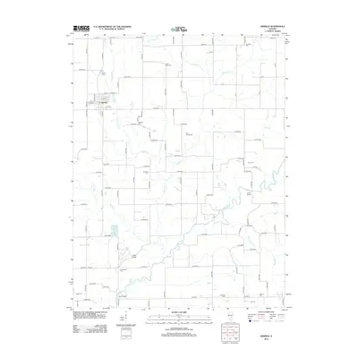
2012 Map of Herrick
USGS Topo · Published 2012About this map
Herrick serves as the primary center of activity in this section of Shelby County, situated at the intersection of a strictly gridded rural road network. The landscape is defined by the winding course of the Kaskaskia River and its numerous tributaries, including Mitchell Cr, Becks Cr, and Polecat Cr. These waterways cut through the prairie, creating more varied elevation near the Dean Hills.
Find a feature on this map
63 named features on this map. Tap any name to fly to it.
Don’t see what you’re looking for? This feature index may not catch every label — zoom into the map to look around manually.
Map Details
Editions of this 2012 Herrick Map
This is the sole edition of this map. No revisions or reprints were ever made.
Other maps of this area

1941 · St. Elmo
USGS Topo · 1:62,500

1942 · Shelbyville
USGS Topo · 1:62,500

1944 · Ramsey
USGS Topo · 1:62,500

1945 · St. Elmo
USGS Topo · 1:62,500

1946 · Shelbyville
USGS Topo · 1:62,500

1946 · Ramsey
USGS Topo · 1:62,500

1947 · Pana
USGS Topo · 1:62,500

1949 · Pana
USGS Topo · 1:62,500

1958 · Decatur
USGS Topo · 1:250,000

1961 · Decatur
USGS Topo · 1:250,000