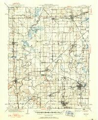
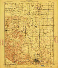
1936 Map of Herrin
USGS Topo · Published 1936About this map
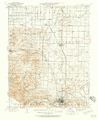
The Little Muddy River and Big Muddy River define the winding, water-rich landscape of this Southern Illinois coal region during the 1930s. The map illustrates a dense network of industrial rail lines, including the Illinois Central and the Coal Belt, which connected the burgeoning towns of Herrin, Christopher, and Zeigler to the surrounding collieries. Beyond the industrial centers, the map documents a transition from old agrarian roots to the mining era, visible in the persistence of family-named landmarks such as Rodgers School and Crawford School. This specific 1936 revision preserves a detailed view of social infrastructure, locating numerous country schools like Arkansas School and Fourmile School, as well as rural outposts like Reeves P O and Old Duquoin before the landscape was reshaped by mid-century development.
Find a feature on this map
88 named features on this map. Tap any name to fly to it.
Don’t see what you’re looking for? This feature index may not catch every label — zoom into the map to look around manually.
Map Details
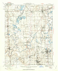
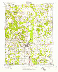
Editions of this 1936 Herrin Map
2 editions found
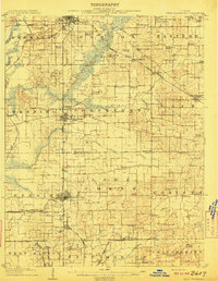
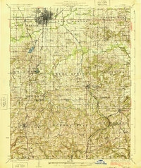
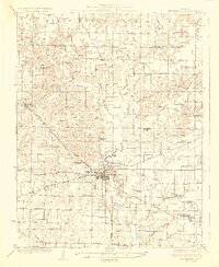
Other maps of this area
1909 · West Frankfort
USGS Topo · 1:62,500
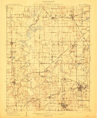
1910 · Herrin
USGS Topo · 1:62,500
1910 · Murphysboro
USGS Topo · 1:62,500

1922 · Carbondale
USGS Topo · 1:62,500

1924 · Alto Pass
USGS Topo · 1:62,500
1924 · Pinckneyville
USGS Topo · 1:62,500
1925 · Marion
USGS Topo · 1:62,500
1926 · Pinckneyville
USGS Topo · 1:62,500

1926 · Duquoin
USGS Topo · 1:62,500
1938 · Murphysboro
USGS Topo · 1:62,500