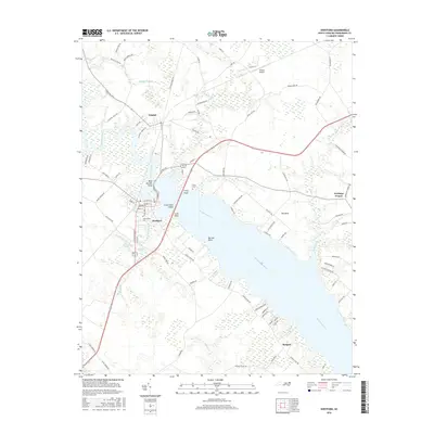
2016 Map of Hertford
USGS Topo · Published 2016About this map
Hertford and Winfall anchor the landscape where the broad Perquimans River begins its wide southern reach. This coastal plain environment is defined by complex water systems, including Bagley Swamp to the north and numerous small tributaries like Jennies Gut, Lakers Creek, and Perrishoes Creek that carve into the riverbank. The river itself features several distinctive points of land such as Bear Garden Point, Ferry Point, and Barrow Point, suggesting a long history of water-based navigation and transport in Perquimans County.
Find a feature on this map
94 named features on this map. Tap any name to fly to it.
Don’t see what you’re looking for? This feature index may not catch every label — zoom into the map to look around manually.
Map Details
Editions of this 2016 Hertford Map
This is the sole edition of this map. No revisions or reprints were ever made.
Other maps of this area

1904 · Edenton
USGS Topo · 1:62,500

1906 · Hertford
USGS Topo · 1:62,500

1906 · Beckford
USGS Topo · 1:48,000

1907 · Beckford
USGS Topo · 1:62,500

1940 · Hertford
USGS Topo · 1:62,500

1940 · Beckford
USGS Topo · 1:62,500

1940 · South Mills
USGS Topo · 1:62,500

1942 · Edenton
USGS Topo · 1:62,500

1943 · Edenton
USGS Topo · 1:62,500

1952 · South Mills
USGS Topo · 1:62,500