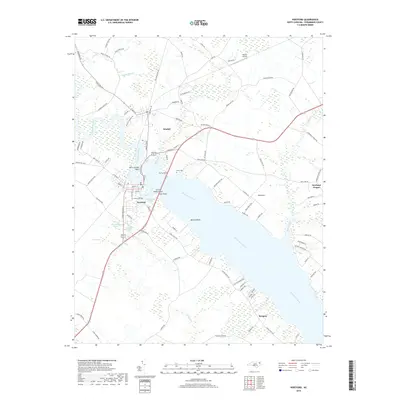
2019 Map of Hertford
USGS Topo · Published 2019About this map
The Perquimans River dominates this coastal North Carolina landscape, serving as the central artery for the historic towns of Hertford and Winfall. These settlements are closely linked by bridges and historical crossings near Ferry Point and Crow Point Island, where the river narrows significantly before broadening toward the Albemarle Sound. The map reveals a mosaic of wetland environments, including Bagley Swamp to the north and Bear Swamp to the southwest, which frame the agricultural and residential corridors along S Edenton Road St and Center Hill Hwy. Genealogists and local historians can locate established landmarks such as Cedarwood Cem in the heart of Hertford and Nixon Cem further north. Outlying rural communities like Old Neck, Newhope Proper, and Burgess illustrate the dispersed settlement pattern characteristic of the Inner Banks region, where life is inextricably tied to the winding creeks like Sutton Creek and Yeopim Cr.
Find a feature on this map
103 named features on this map. Tap any name to fly to it.
Don’t see what you’re looking for? This feature index may not catch every label — zoom into the map to look around manually.
Map Details
Editions of this 2019 Hertford Map
This is the sole edition of this map. No revisions or reprints were ever made.
Other maps of this area

1904 · Edenton
USGS Topo · 1:62,500

1906 · Hertford
USGS Topo · 1:62,500

1906 · Beckford
USGS Topo · 1:48,000

1907 · Beckford
USGS Topo · 1:62,500

1940 · Hertford
USGS Topo · 1:62,500

1940 · Beckford
USGS Topo · 1:62,500

1940 · South Mills
USGS Topo · 1:62,500

1942 · Edenton
USGS Topo · 1:62,500

1943 · Edenton
USGS Topo · 1:62,500

1952 · South Mills
USGS Topo · 1:62,500