Loading...
Loading map...2022 Map of Hertford
USGS Topo · Published 2022About this map
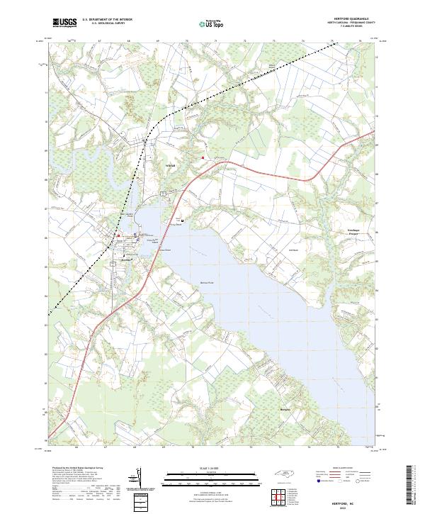
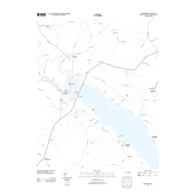
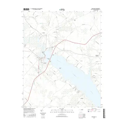
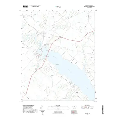
The Perquimans River dominates this region of coastal North Carolina, where the historic town of Hertford serves as the focal point. Situated on an S-curve of the river, the settlement is anchored by the Perquimans County Courthouse and connects to the north bank via a narrow crossing at Crow Point. This geography is shaped by the wide estuaries and meandering tributaries typical of the Albemarle Sound region, with drainage provided by Perrishoes Creek and Raccoon Creek.
Find a feature on this map
103 named features on this map. Tap any name to fly to it.
Don’t see what you’re looking for? This feature index may not catch every label — zoom into the map to look around manually.
Map Details
Date Portrayed2022
Date Published2022
PublisherU.S. Geological Survey
Map TypeTopographic
Scale1:24,000
Physical Dimensions24 x 29 inches
Editions of this 2022 Hertford Map
This is the sole edition of this map. No revisions or reprints were ever made.
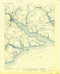
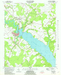
Historical Maps of Hertford Through Time
8 maps found

Featured Locations
Source Details
SourceU.S. Geological Survey
CopyrightPublic Domain