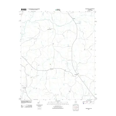
2012 Map of Hesterville
USGS Topo · Published 2012About this map
The Big Black River forms the western boundary of this Mississippi landscape, which is defined by its deep network of creeks and numerous small rural settlements. In the early 21st century, the area around Hesterville and Rocky Point remains marked by a high density of local cemeteries, including Sweet Pilgrim Cem, Smyrna Cem, and Palmer Cem, which serve as vital markers for genealogical research in this part of Attala County.
Find a feature on this map
66 named features on this map. Tap any name to fly to it.
Don’t see what you’re looking for? This feature index may not catch every label — zoom into the map to look around manually.
Map Details
Editions of this 2012 Hesterville Map
This is the sole edition of this map. No revisions or reprints were ever made.
Other maps of this area

1953 · West Point
USGS Topo · 1:250,000

1958 · West Point
USGS Topo · 1:250,000

1963 · West Point
USGS Topo · 1:250,000

1964 · West
USGS Topo · 1:24,000

1964 · Kosciusko NE
USGS Topo · 1:24,000

1964 · Hesterville
USGS Topo · 1:24,000
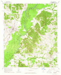
1964 · Durant
USGS Topo · 1:24,000

1964 · Kosciusko
USGS Topo · 1:24,000
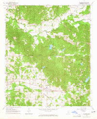
1964 · McAdams
USGS Topo · 1:24,000

1966 · Poplar Creek
USGS Topo · 1:24,000