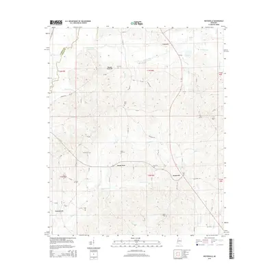
2015 Map of Hesterville
USGS Topo · Published 2015About this map
Hesterville and Carmack anchor this 2015 survey of central Mississippi, where the headwaters of numerous creeks carve a complex drainage pattern through Attala and Carroll counties. The landscape is defined by the winding course of the Big Black River along the western edge and a dense network of watercourses including Zilpha Cr, Sharkey Cr, and Scoobachita Cr. This modern topographic study reveals a deeply established rural cemetery network that provides invaluable data for genealogical research, with family and community sites such as Mayo Cem, Smyrna Cem, and Guess Cem scattered across the township lines. The settlement at Possumneck and the landmark of Mount Herman highlight the persistent rural character of this region, while the transition from paved routes like MS 19 to local unpaved roads illustrates the enduring infrastructure of the Mississippi interior.
Find a feature on this map
70 named features on this map. Tap any name to fly to it.
Don’t see what you’re looking for? This feature index may not catch every label — zoom into the map to look around manually.
Map Details
Editions of this 2015 Hesterville Map
This is the sole edition of this map. No revisions or reprints were ever made.
Other maps of this area

1953 · West Point
USGS Topo · 1:250,000

1958 · West Point
USGS Topo · 1:250,000

1963 · West Point
USGS Topo · 1:250,000

1964 · West
USGS Topo · 1:24,000

1964 · Kosciusko NE
USGS Topo · 1:24,000

1964 · Hesterville
USGS Topo · 1:24,000
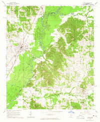
1964 · Durant
USGS Topo · 1:24,000

1964 · Kosciusko
USGS Topo · 1:24,000
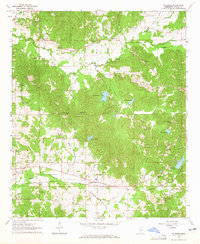
1964 · McAdams
USGS Topo · 1:24,000

1966 · Poplar Creek
USGS Topo · 1:24,000