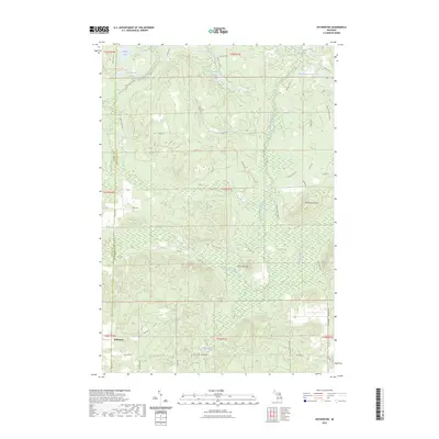
2023 Map of Hetherton
USGS Topo · Published 2023About this map
Hetherton and its surrounding forest lands are documented here along the county line between Otsego and Montmorency counties. The landscape is defined by the headwaters and tributaries of the Black River, including the East Branch Black River and Rattlesnake Creek, which wind through low-lying areas like the Green Swamp. The terrain rises toward local landmarks such as Rattlesnake Hills and Old Baldy Hill, reflecting the glacial topography of Northern Michigan.
Find a feature on this map
53 named features on this map. Tap any name to fly to it.
Don’t see what you’re looking for? This feature index may not catch every label — zoom into the map to look around manually.
Map Details
Editions of this 2023 Hetherton Map
This is the sole edition of this map. No revisions or reprints were ever made.
Other maps of this area

1949 · Lewiston
USGS Topo · 1:62,500

1950 · Lewiston
USGS Topo · 1:24,000

1950 · Johannesburg
USGS Topo · 1:24,000

1951 · Johannesburg
USGS Topo · 1:24,000

1951 · Lewiston
USGS Topo · 1:24,000

1954 · Hetherton
USGS Topo · 1:62,500

1954 · Traverse City
USGS Topo · 1:250,000

1955 · Atlanta
USGS Topo · 1:62,500

1955 · Comins
USGS Topo · 1:62,500

1955 · Cheboygan
USGS Topo · 1:250,000