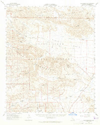
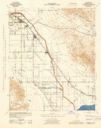
1963 Map of Hexie Mountains
USGS Topo · Published 1965About this map
Joshua Tree National Monument encompasses the heart of this California desert landscape, where the jagged ranges of the Hexie Mountains and Pinto Mountains converge. The area is defined by a historical mining economy, with dozens of claims such as the Paymaster Mine, Golden Bell Mine, and Esperado Mine scattered along the mountain flanks. These operations relied on scarce water sources like Pinkham Spring and the Ruby Lee Well to survive the arid environment. A network of primitive transit routes, including the Old Black Eagle Mine Rd and various Jeep Trails, connect the high peaks of Monument Mtn to the broad expanse of the Pinto Basin. This mid-century survey also notes early recreational developments, such as the Cholla Garden Nature Trail, marking the transition from industrial extraction to conservation and tourism.
Find a feature on this map
44 named features on this map. Tap any name to fly to it.
Don’t see what you’re looking for? This feature index may not catch every label — zoom into the map to look around manually.
Map Details
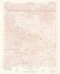
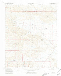
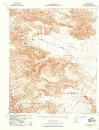
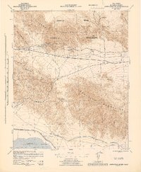
Editions of this 1963 Hexie Mountains Map
3 editions found
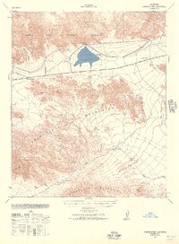
Other maps of this area

1904 · Indio
USGS Topo · 1:125,000

1940 · Cottonwood Spring
USGS Topo · 1:62,500
1940 · Canyon Spring
USGS Topo · 1:62,500

1941 · Coachella
USGS Topo · 1:62,500

1942 · Amboy
USGS Topo · 1:250,000

1943 · Amboy
USGS Topo · 1:250,000

1943 · Canyon Spring
USGS Topo · 1:62,500
1943 · Coachella
USGS Topo · 1:62,500
1943 · Pinkham Well
USGS Topo · 1:62,500
1944 · Cottonwood Spring
USGS Topo · 1:62,500