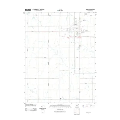
2012 Map of Hiawatha
USGS Topo · Published 2012About this map
Hiawatha anchors this Brown County landscape, positioned at a significant regional crossroads where several major tributaries of the Wolf River originate. The town's layout reflects a classic Midwestern grid, extending from the central business district toward the Hiawatha Municipal Airport and the expansive Mount Hope Cem. To the south, the terrain becomes increasingly agricultural, dotted with rural intersections and small clusters like Baker.
Find a feature on this map
56 named features on this map. Tap any name to fly to it.
Don’t see what you’re looking for? This feature index may not catch every label — zoom into the map to look around manually.
Map Details
Editions of this 2012 Hiawatha Map
This is the sole edition of this map. No revisions or reprints were ever made.
Other maps of this area

1885 · Atchison
USGS Topo · 1:125,000

1888 · Atchison
USGS Topo · 1:125,000

1888 · Hiawatha
USGS Topo · 1:125,000

1893 · Atchison
USGS Topo · 1:125,000

1894 · Hiawatha
USGS Topo · 1:125,000

1950 · Kansas City
USGS Topo · 1:250,000

1954 · Kansas City
USGS Topo · 1:250,000

1956 · Kansas City
USGS Topo · 1:250,000
1959 · Morrill
USGS Topo · 1:24,000

1960 · Kansas City
USGS Topo · 1:250,000