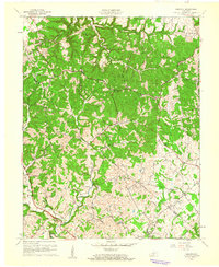
1961 Map of Hibernia
USGS Topo · Published 1962About this map
Muldraugh Hill dominates the northern topography of this region, creating a stark contrast with the lower-lying river valleys to the south. The rural landscape is defined by the Upper Green River and the complex drainage system of Big Brush Creek and Little Brush Creek. Small communities like Hibernia and Coakley serve as local hubs, while numerous country churches and cemeteries, such as Pleasant Ridge Ch and Webster Cem, point to long-established family settlements and community roots. In the southeast, a concentration of Oil Wells reveals the mid-century industrial activity near Mac. The map also captures the Taylor Co Green Co boundary, illustrating how the natural features like Brush Creek influenced the political borders of this Kentucky interior.
Find a feature on this map
31 named features on this map. Tap any name to fly to it.
Don’t see what you’re looking for? This feature index may not catch every label — zoom into the map to look around manually.
Map Details
Editions of this 1961 Hibernia Map
2 editions found
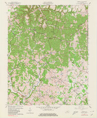
Other maps of this area

1953 · Howardstown
USGS Topo · 1:24,000

1953 · Saloma
USGS Topo · 1:24,000

1953 · Hudgins
USGS Topo · 1:24,000

1953 · Hibernia
USGS Topo · 1:24,000

1953 · Summersville
USGS Topo · 1:24,000

1953 · Magnolia
USGS Topo · 1:24,000
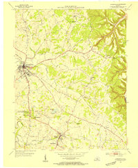
1953 · Hodgenville
USGS Topo · 1:24,000

1953 · Raywick
USGS Topo · 1:24,000

1954 · Greensburg
USGS Topo · 1:24,000

1957 · Winchester
USGS Topo · 1:250,000