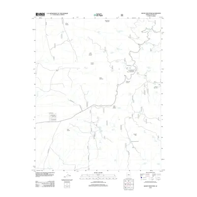
2012 Map of Hickey Mountain
USGS Topo · Published 2012About this map
Mingus Mountain and the high desert canyons of Yavapai County dominate this 2012 survey, revealing a landscape where high-altitude peaks meet ranching outposts. Settled pockets like Potato Patch and Mingus Springs Ranch sit alongside utility infrastructure, including the Arizona Highway Maintenance Mingus Mountain Yard. The terrain is deeply incised by drainages such as Coyote Canyon, Haywood Canyon, and Little Yaeger Canyon.
Find a feature on this map
58 named features on this map. Tap any name to fly to it.
Don’t see what you’re looking for? This feature index may not catch every label — zoom into the map to look around manually.
Map Details
Editions of this 2012 Hickey Mountain Map
This is the sole edition of this map. No revisions or reprints were ever made.
Other maps of this area

1887 · Prescott
USGS Topo · 1:250,000

1892 · Prescott
USGS Topo · 1:250,000

1905 · Jerome
USGS Topo · 1:125,000

1944 · Clarkdale
USGS Topo · 1:48,000

1944 · Mingus Mountain
USGS Topo · 1:62,500

1947 · Mingus Mtn
USGS Topo · 1:62,500

1947 · Paulden
USGS Topo · 1:62,500

1947 · Prescott
USGS Topo · 1:62,500

1948 · Prescott
USGS Topo · 1:62,500
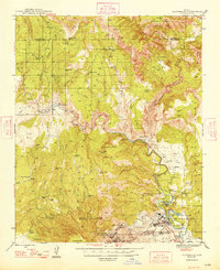
1948 · Clarkdale
USGS Topo · 1:62,500