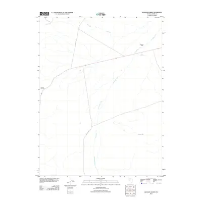
2012 Map of Hickison Summit
USGS Topo · Published 2012About this map
Hickison Summit stands as the defining landmark of this Great Basin landscape, situated where the high desert terrain transitions into the broad expanse of Monitor Valley. The area is characterized by a network of drainage systems and ranching infrastructure, with Stoneberger Creek and Dry Creek carving paths through the arid basins. Evidence of land management and water storage is visible at Woods Reservoir, providing a focal point for local hydrology in an otherwise dry environment. The southern portion of the quadrangle is anchored by the Grimes Hills, while a sparse network of unpaved tracks, including Grimes Ranch Rd and Dry Creek Rd, trace the routes established for regional access and ranching operations.
Find a feature on this map
9 named features on this map. Tap any name to fly to it.
Don’t see what you’re looking for? This feature index may not catch every label — zoom into the map to look around manually.
Map Details
Editions of this 2012 Hickison Summit Map
This is the sole edition of this map. No revisions or reprints were ever made.
Other maps of this area

1926 · Roberts Mountains
USGS Topo · 1:250,000

1929 · Roberts Mountains
USGS Topo · 1:250,000

1955 · Millett
USGS Topo · 1:250,000

1956 · Mount Callaghan
USGS Topo · 1:62,500

1956 · Ackerman Canyon
USGS Topo · 1:62,500

1959 · Millett
USGS Topo · 1:250,000

1960 · Hickison Summit
USGS Topo · 1:62,500

1960 · Spencer Hot Springs
USGS Topo · 1:62,500

1978 · Summit Mountain
USGS Topo · 1:100,000

1979 · Simpson Park Mtns
USGS Topo · 1:100,000