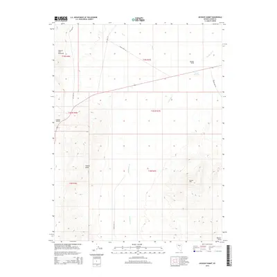
2015 Map of Hickison Summit
USGS Topo · Published 2015About this map
Hickison Summit marks the transition between the high desert ranges and broad valleys of central Nevada. This landscape is defined by the convergence of the Simpson Park Mountains and the northern Toquima Range, where the terrain slopes down toward Monitor Valley to the east. The drainage patterns here are critical to the local geography, with Dry Cr and Stoneberger Cr cutting through the foothills. Human activity is evidenced by the network of ranch roads, including Dry Creek Rd and Rowan Farms Rd, which suggest the area's ongoing agricultural and ranching utility. Small-scale water management is visible at Woods Reservoir, a vital point of interest in this arid environment near the Grimes Hills.
Find a feature on this map
17 named features on this map. Tap any name to fly to it.
Don’t see what you’re looking for? This feature index may not catch every label — zoom into the map to look around manually.
Map Details
Editions of this 2015 Hickison Summit Map
This is the sole edition of this map. No revisions or reprints were ever made.
Other maps of this area

1926 · Roberts Mountains
USGS Topo · 1:250,000

1929 · Roberts Mountains
USGS Topo · 1:250,000

1955 · Millett
USGS Topo · 1:250,000

1956 · Mount Callaghan
USGS Topo · 1:62,500

1956 · Ackerman Canyon
USGS Topo · 1:62,500

1959 · Millett
USGS Topo · 1:250,000

1960 · Hickison Summit
USGS Topo · 1:62,500

1960 · Spencer Hot Springs
USGS Topo · 1:62,500

1978 · Summit Mountain
USGS Topo · 1:100,000

1979 · Simpson Park Mtns
USGS Topo · 1:100,000