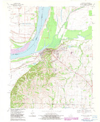
1970 Map of Hickman
USGS Topo · Published 1983About this map
Hickman serves as the focal point for this riverside survey, occupying the high ground above the Mississippi River as it winds past the New Madrid Floodway. This 1970 edition captures the town's industrial and transport infrastructure, including the Illinois Central Gulf Railroad Grade and numerous river-related features like the Dorena Landing ferry crossing. The landscape south of the city rises into distinct terrain marked by Wilson Hill and Beach Grove Hill, where smaller communities such as Brownsville and Anna Lynne are situated.
Find a feature on this map
39 named features on this map. Tap any name to fly to it.
Don’t see what you’re looking for? This feature index may not catch every label — zoom into the map to look around manually.
Map Details
Editions of this 1970 Hickman Map
2 editions found
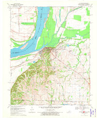
Other maps of this area

1925 · Reelfoot Lake
USGS Topo · 1:62,500

1939 · Reelfoot Lake
USGS Topo · 1:62,500

1939 · Hickman
USGS Topo · 1:62,500

1939 · Bayouville
USGS Topo · 1:62,500

1951 · Cayce
USGS Topo · 1:24,000

1951 · Bondurant
USGS Topo · 1:24,000

1951 · Oakton
USGS Topo · 1:24,000

1951 · Hickman
USGS Topo · 1:24,000

1951 · Wolf Island
USGS Topo · 1:24,000

1954 · Union City
USGS Topo · 1:24,000