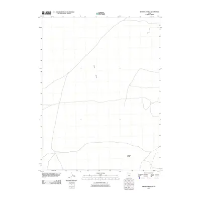
2011 Map of Hickman Knolls
USGS Topo · Published 2011About this map
Skull Valley defines the arid character of this Tooele County landscape, where the topography is shaped by wide desert basins and isolated geological formations. The eponymous Hickman Knolls rise from the valley floor in the southeast, serving as a distinct navigational landmark in an otherwise open terrain. Water resources are scarce in this part of the Great Basin, evidenced by the presence of Hatch Well in the southwest corner. The 2011 survey by the U.S. Geological Survey illustrates a sparse network of local roads and 4WD tracks that traverse the valley, indicating the area's continued use for ranching or remote transit rather than dense settlement.
Find a feature on this map
3 named features on this map. Tap any name to fly to it.
Don’t see what you’re looking for? This feature index may not catch every label — zoom into the map to look around manually.
Map Details
Editions of this 2011 Hickman Knolls Map
This is the sole edition of this map. No revisions or reprints were ever made.
Other maps of this area

1885 · Tooele Valley
USGS Topo · 1:250,000

1953 · Tooele
USGS Topo · 1:250,000

1955 · Tabbys Peak SE
USGS Topo · 1:24,000

1955 · Tabbys Peak
USGS Topo · 1:24,000

1955 · Timpie
USGS Topo · 1:62,500

1955 · Deseret Peak
USGS Topo · 1:62,500

1955 · Tabbys Peak SW
USGS Topo · 1:24,000

1955 · Tooele
USGS Topo · 1:250,000

1973 · Quincy Spring
USGS Topo · 1:24,000

1973 · Hickman Knolls
USGS Topo · 1:24,000