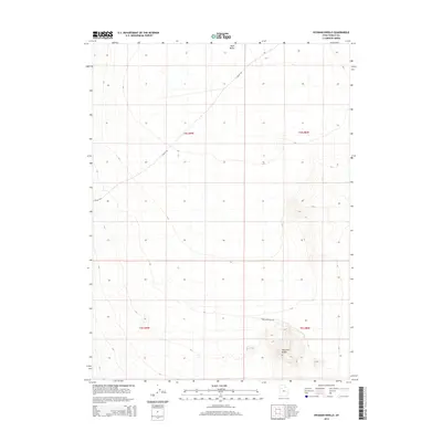
2014 Map of Hickman Knolls
USGS Topo · Published 2014About this map
Skull Valley defines the core of this western Utah landscape, where the wide desert floor transitions into the prominent topographic rise of the Hickman Knolls in the southern portion of the quadrangle. The map documents a sparse, remote network of desert infrastructure, primarily centered on secondary routes like S Valley Rd and New Antelope Rd. These roads traverse the open terrain within the public land survey system divisions of t4s r9w, t4s r8w, t5s r9w, and t5s r8w. The survey highlights the stark natural elevation changes between the flat valley stretches and the isolated rocky outcrops, providing a clear view of the geographic isolation and land use patterns in this part of Tooele County.
Find a feature on this map
8 named features on this map. Tap any name to fly to it.
Don’t see what you’re looking for? This feature index may not catch every label — zoom into the map to look around manually.
Map Details
Editions of this 2014 Hickman Knolls Map
This is the sole edition of this map. No revisions or reprints were ever made.
Other maps of this area

1885 · Tooele Valley
USGS Topo · 1:250,000

1953 · Tooele
USGS Topo · 1:250,000

1955 · Tabbys Peak SE
USGS Topo · 1:24,000

1955 · Tabbys Peak
USGS Topo · 1:24,000

1955 · Timpie
USGS Topo · 1:62,500

1955 · Deseret Peak
USGS Topo · 1:62,500

1955 · Tabbys Peak SW
USGS Topo · 1:24,000

1955 · Tooele
USGS Topo · 1:250,000

1973 · Quincy Spring
USGS Topo · 1:24,000

1973 · Hickman Knolls
USGS Topo · 1:24,000