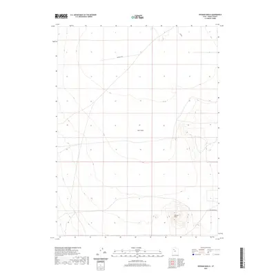
2020 Map of Hickman Knolls
USGS Topo · Published 2020About this map
Skull Valley dominates this Tooele County landscape, where the wide desert floor meets the isolated rising elevations of the Hickman Knolls. Surveyed in 2020, this map provides a detailed look at the rural infrastructure of the basin, characterized by long, straight thoroughfares such as Waterhole Rd and New Antelope Rd. These paths likely represent historic routes across the arid terrain, connecting remote points in the Great Basin. The topography is defined by the contrast between the flat valley floor and the tightly clustered contour lines of the namesake knolls in the southeast, revealing a terrain shaped by ancient geological processes and sparse contemporary human movement.
Find a feature on this map
5 named features on this map. Tap any name to fly to it.
Don’t see what you’re looking for? This feature index may not catch every label — zoom into the map to look around manually.
Map Details
Editions of this 2020 Hickman Knolls Map
This is the sole edition of this map. No revisions or reprints were ever made.
Other maps of this area

1885 · Tooele Valley
USGS Topo · 1:250,000

1953 · Tooele
USGS Topo · 1:250,000

1955 · Tabbys Peak SE
USGS Topo · 1:24,000

1955 · Tabbys Peak
USGS Topo · 1:24,000

1955 · Timpie
USGS Topo · 1:62,500

1955 · Deseret Peak
USGS Topo · 1:62,500

1955 · Tabbys Peak SW
USGS Topo · 1:24,000

1955 · Tooele
USGS Topo · 1:250,000

1973 · Quincy Spring
USGS Topo · 1:24,000

1973 · Hickman Knolls
USGS Topo · 1:24,000