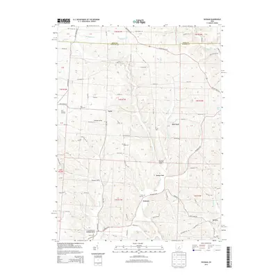
2013 Map of Hickman
USGS Topo · Published 2013About this map
Rocky Fork and its numerous tributaries, including Lost Run and Painter Run, define the rolling Licking County landscape in this 2013 survey. The area is characterized by small rural settlements such as Purity, Hickman, and Wilkins Run, which are connected by a network of winding roads like Fallsburg Rd NE and Purity Rd. The map provides significant detail for local historians and genealogists, specifically identifying numerous burial grounds including Eden Church Cem, Soustin Cem, Miles Chapel Cem, and Smith Chapel Cem. Cultural landmarks of the early 21st century are well-documented, from the recreational grounds of Camp Ohio and the Boy Scout Memorial Bridge to specialized agriculture at the Walsh Christmas Tree Farm. The terrain transitions from the broader valley of Pleasant Valley into the more confined Banks Hollow in the southern portion of the quadrangle.
Find a feature on this map
81 named features on this map. Tap any name to fly to it.
Don’t see what you’re looking for? This feature index may not catch every label — zoom into the map to look around manually.
Map Details
Editions of this 2013 Hickman Map
This is the sole edition of this map. No revisions or reprints were ever made.
Other maps of this area

1909 · Newark
USGS Topo · 1:62,500

1910 · Frazeysburg
USGS Topo · 1:62,500

1912 · Gambier
USGS Topo · 1:62,500

1913 · Brinkhaven
USGS Topo · 1:62,500

1914 · Gambier
USGS Topo · 1:62,500

1915 · Brinkhaven
USGS Topo · 1:62,500

1943 · Gambier
USGS Topo · 1:62,500

1950 · Marion
USGS Topo · 1:250,000

1961 · Hanover
USGS Topo · 1:24,000

1961 · Newark
USGS Topo · 1:24,000