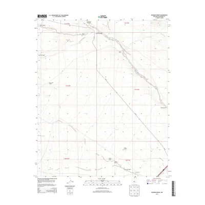
2013 Map of Hickman Ranch
USGS Topo · Published 2013About this map
Hickman Ranch and Scott Ranch anchor this landscape of deep drainages and cattle country in Socorro County. The terrain is defined by a series of significant canyons including San Juan Canyon, Sheep Canyon, and Simon Canyon in the south, while North Canyon and East Red Canyon mark the northern reaches. These geographic features illustrate the complex hydrology of the high desert, where ephemeral waterways like Rock Cr and Rocky Arroyo have carved through the earth over millennia.
Find a feature on this map
21 named features on this map. Tap any name to fly to it.
Don’t see what you’re looking for? This feature index may not catch every label — zoom into the map to look around manually.
Map Details
Editions of this 2013 Hickman Ranch Map
This is the sole edition of this map. No revisions or reprints were ever made.
Other maps of this area

1954 · Tularosa
USGS Topo · 1:250,000

1958 · Tularosa
USGS Topo · 1:250,000

1961 · Hickman Ranch
USGS Topo · 1:24,000

1961 · Paraje Well
USGS Topo · 1:24,000

1961 · Black Hill
USGS Topo · 1:24,000

1961 · Fort Craig
USGS Topo · 1:24,000

1964 · San Juan Peak
USGS Topo · 1:24,000

1964 · Steel Hill
USGS Topo · 1:24,000
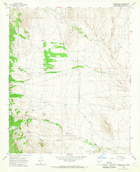
1965 · Tenmile Hill
USGS Topo · 1:24,000
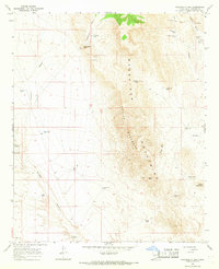
1965 · Puertecito Gap
USGS Topo · 1:24,000