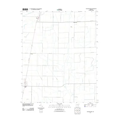
2011 Map of Hickory Ridge
USGS Topo · Published 2011About this map
Fisher and Pittinger anchor the western edge of this agricultural landscape in Cross County, where the terrain is defined by a dense network of watercourses and ditches. The western border is traced by the winding path of Bayou De View and Old Forked Slough, while Brushey Lake and Bale Brown Branch drain the northern reaches. This 2011 survey documents a highly organized rural grid, evidenced by the numerous farm-to-market roads like Taylor Seed Farm Rd and Jimmy Freeze Rd. Local history researchers will find Wyatts Cemetery situated centrally among the fields, providing a genealogical anchor for the surrounding families. The drainage patterns of Overcup Creek, Twomile Creek, and Caney Creek reflect the intensive land management required for the Delta region's farming economy, with several named ditches and sloughs including Gum Slough and Ditch Number 15.
Find a feature on this map
38 named features on this map. Tap any name to fly to it.
Don’t see what you’re looking for? This feature index may not catch every label — zoom into the map to look around manually.
Map Details
Editions of this 2011 Hickory Ridge Map
This is the sole edition of this map. No revisions or reprints were ever made.
Other maps of this area

1935 · Tuckerman
USGS Topo · 1:62,500

1939 · Vanndale
USGS Topo · 1:62,500

1939 · Weiner
USGS Topo · 1:62,500

1940 · Tilton
USGS Topo · 1:62,500

1953 · Memphis
USGS Topo · 1:250,000

1956 · Memphis
USGS Topo · 1:250,000

1956 · Tilton
USGS Topo · 1:62,500

1958 · Vanndale
USGS Topo · 1:62,500

1959 · Weiner
USGS Topo · 1:62,500

1960 · Weiner
USGS Topo · 1:62,500