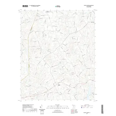
2020 Map of Hickory Tavern
USGS Topo · Published 2020About this map
Hickory Tavern and the village of Gray Court anchor this rural landscape in the Upstate region of South Carolina. The terrain is defined by a dense network of waterways, including the Reedy River and North Rabon Creek, which carve through the land to create features like Tumbling Shoals. This area is rich in family and community heritage, marked by numerous small cemeteries and historic congregations. Local genealogists will find several burial sites preserved on the landscape, such as Babb Cem, Dials Cem, and the New Prospect Cem. Religious life is centered at Green Pond United Methodist Church and Dials Church, while landmarks like the Henderson Cem near the southern boundary provide specific points for historical mapping of early settlement patterns in Laurens County.
Find a feature on this map
145 named features on this map. Tap any name to fly to it.
Don’t see what you’re looking for? This feature index may not catch every label — zoom into the map to look around manually.
Map Details
Editions of this 2020 Hickory Tavern Map
This is the sole edition of this map. No revisions or reprints were ever made.
Other maps of this area

1892 · Abbeville
USGS Topo · 1:125,000

1954 · Greenville
USGS Topo · 1:250,000

1957 · Fountain Inn
USGS Topo · 1:62,500

1957 · Williamston
USGS Topo · 1:62,500

1958 · Greenville
USGS Topo · 1:250,000
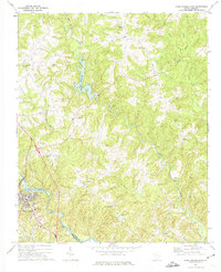
1971 · Ware Shoals East
USGS Topo · 1:24,000
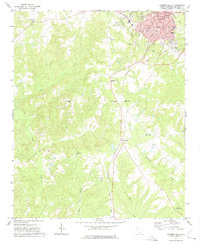
1971 · Laurens South
USGS Topo · 1:24,000
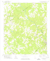
1971 · Ware Shoals West
USGS Topo · 1:24,000
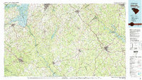
1979 · Abbeville
USGS Topo · 1:100,000
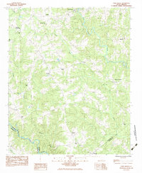
1983 · Fork Shoals
USGS Topo · 1:24,000