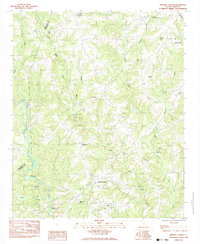
1983 Map of Hickory Tavern
USGS Topo · Published 1983About this map
The Hickory Tavern community serves as the central hub of this Piedmont landscape, situated just south of the Greenville Co and Laurens Co line. The era's rural social fabric is clearly visible through a network of country churches, including Dials Ch, Cambell Chapel, and Green Pond Ch, many with associated burial grounds like Babo Cem. These landmarks, along with the settlement at Henderson, suggest a long-established agricultural population centered around crossroads and stream valleys.
Find a feature on this map
29 named features on this map. Tap any name to fly to it.
Don’t see what you’re looking for? This feature index may not catch every label — zoom into the map to look around manually.
Map Details
Editions of this 1983 Hickory Tavern Map
This is the sole edition of this map. No revisions or reprints were ever made.
Other maps of this area

1892 · Abbeville
USGS Topo · 1:125,000

1954 · Greenville
USGS Topo · 1:250,000

1957 · Fountain Inn
USGS Topo · 1:62,500

1957 · Williamston
USGS Topo · 1:62,500

1958 · Greenville
USGS Topo · 1:250,000
1971 · Ware Shoals East
USGS Topo · 1:24,000
1971 · Laurens South
USGS Topo · 1:24,000
1971 · Ware Shoals West
USGS Topo · 1:24,000
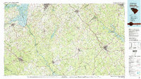
1979 · Abbeville
USGS Topo · 1:100,000
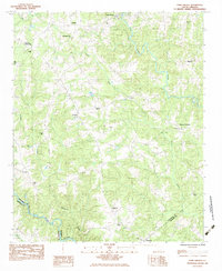
1983 · Fork Shoals
USGS Topo · 1:24,000