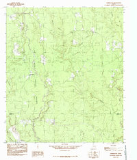
1984 Map of Hicksbaugh
USGS Topo · Published 1985About this map
The Big Thicket National Preserve dominates this corner of East Texas, protecting a dense biological crossroads along the border of Tyler and Hardin counties. The landscape is defined by its intricate drainage patterns, where the winding course of Turkey Creek flows south toward the county line. The small settlement of Hicksbaugh sits on the western edge of the preserve, serving as a rare pocket of development in an area characterized by floodplains and piney woods. Waterways such as Theuvenins Creek and Beech Creek crisscross the terrain, illustrating the dense hydrological network that has historically challenged road building and fostered the unique ecology of the Big Thicket. This 1984 provisional survey captures the region just as federal protection was consolidating the fragmented units of the national preserve.
Find a feature on this map
10 named features on this map. Tap any name to fly to it.
Don’t see what you’re looking for? This feature index may not catch every label — zoom into the map to look around manually.
Map Details
Editions of this 1984 Hicksbaugh Map
This is the sole edition of this map. No revisions or reprints were ever made.
Other maps of this area

1954 · Beaumont
USGS Topo · 1:250,000

1955 · Silsbee
USGS Topo · 1:62,500

1955 · Kountze
USGS Topo · 1:62,500

1957 · Beaumont
USGS Topo · 1:250,000

1958 · Warren
USGS Topo · 1:62,500

1958 · Spurger
USGS Topo · 1:62,500

1984 · Beaumont
USGS Topo · 1:250,000
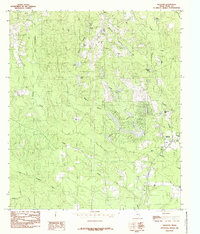
1984 · Hillister
USGS Topo · 1:24,000
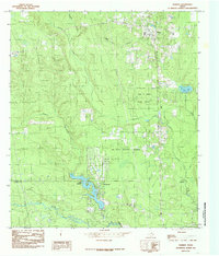
1984 · Warren
USGS Topo · 1:24,000
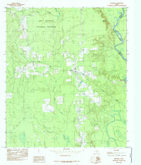
1984 · Spurger
USGS Topo · 1:24,000