
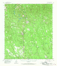
1958 Map of Warren
USGS Topo · Published 1960About this map
The Southern Pacific railroad corridor serves as the primary axis of development in this Southeast Texas timber and oil region. The landscape is defined by the transition between the John H Kirby State Forest and active extraction sites like the East Hillister Oil Field and Theuvenins Oil Field. Small communities such as Warren and Hillister are established along the rail line, supported by a network of rural institutions including the Red Oak Sch and Little Flock Ch.
Find a feature on this map
69 named features on this map. Tap any name to fly to it.
Don’t see what you’re looking for? This feature index may not catch every label — zoom into the map to look around manually.
Map Details
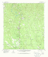
Editions of this 1958 Warren Map
3 editions found
Other maps of this area

1943 · Liberty
USGS Topo · 1:125,000

1954 · Beaumont
USGS Topo · 1:250,000

1955 · Saratoga
USGS Topo · 1:62,500

1955 · Silsbee
USGS Topo · 1:62,500

1955 · Kountze
USGS Topo · 1:62,500

1955 · Woodville
USGS Topo · 1:62,500

1955 · Camden
USGS Topo · 1:62,500

1955 · Curtis
USGS Topo · 1:62,500

1957 · Beaumont
USGS Topo · 1:250,000

1958 · Segno
USGS Topo · 1:62,500