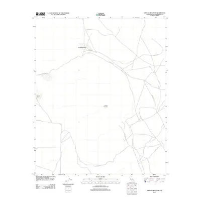
2012 Map of Hidalgo Mountain
USGS Topo · Published 2012About this map
Hidalgo Mountain rises from the high desert floor in a landscape defined by military operations and seasonal dry basins. The area is dominated by the 29 Palms MCAG training grounds, where a complex network of unpaved tracks and service roads crisscrosses the arid terrain. The map details the local hydrology of the Mojave, focusing on large ephemeral features such as Quackenbush Lake and Emerson Lake. While primarily managed for tactical use, the area is accessible from the south via Mesa Rd, providing a detailed look at the physical geography used by the Marine Corps during the early 21st century.
Find a feature on this map
6 named features on this map. Tap any name to fly to it.
Don’t see what you’re looking for? This feature index may not catch every label — zoom into the map to look around manually.
Map Details
Editions of this 2012 Hidalgo Mountain Map
This is the sole edition of this map. No revisions or reprints were ever made.
Other maps of this area
1953 · San Bernardino
USGS Topo · 1:250,000
1954 · Galway Lake
USGS Topo · 1:24,000
1954 · Hidalgo Mtn
USGS Topo · 1:24,000
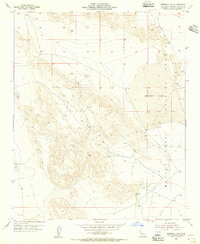
1954 · Emerson Lake
USGS Topo · 1:24,000
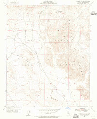
1955 · Deadman Lake NW
USGS Topo · 1:24,000
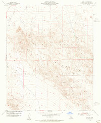
1955 · Lavic SE
USGS Topo · 1:24,000
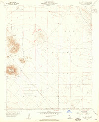
1955 · Goat Mountain
USGS Topo · 1:24,000
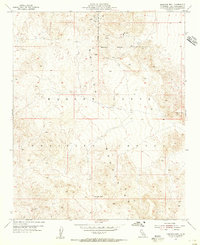
1955 · Morgans Well
USGS Topo · 1:24,000
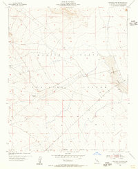
1955 · Deadman Lake SW
USGS Topo · 1:24,000
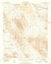
1955 · Lavic
USGS Topo · 1:62,500