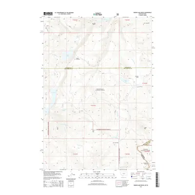
2014 Map of Hidden Lake Bench
USGS Topo · Published 2014About this map
Hidden Lake Bench rises as a prominent landform within the High Divide region, marking a high-altitude landscape where the headwaters of numerous creeks begin their descent. This 2014 survey traces the complex hydrography of the Beaverhead National Forest, following the winding courses of Brimstone Cr and Antelope Creek. The terrain is defined by its dramatic elevation changes, from the depths of Lost Mine Canyon to the summits of the Horn Mountains and Saddle Mtn.
Find a feature on this map
45 named features on this map. Tap any name to fly to it.
Don’t see what you’re looking for? This feature index may not catch every label — zoom into the map to look around manually.
Map Details
Editions of this 2014 Hidden Lake Bench Map
This is the sole edition of this map. No revisions or reprints were ever made.
Other maps of this area
1950 · Cliff Lake
USGS Topo · 1:62,500
1950 · Hebgen Dam
USGS Topo · 1:62,500
1950 · Upper Red Rock Lake
USGS Topo · 1:62,500

1955 · Ashton
USGS Topo · 1:250,000
1958 · Ashton
USGS Topo · 1:250,000
1960 · Ashton
USGS Topo · 1:250,000
1964 · Targhee Peak
USGS Topo · 1:24,000
1964 · Sawtell PK
USGS Topo · 1:24,000
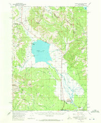
1964 · Henrys Lake
USGS Topo · 1:62,500
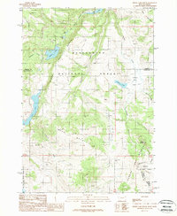
1988 · Hidden Lake Bench
USGS Topo · 1:24,000