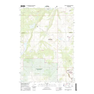
2017 Map of Hidden Lake Bench
USGS Topo · Published 2017About this map
The Continental Divide defines the southeastern corner of this landscape, marking the high boundary between Montana and Idaho. This high-altitude region is dominated by the Beaverhead National Forest and the Targhee National Forest, creating a protected corridor of peaks and valleys. The topography is anchored by prominent summits such as Elk Mtn, Deer Mtn, and Saddle Mtn, which overlook a network of alpine lakes and springs. To the west, the Red Rock Lakes National Wildlife Refuge encompasses the lower elevations near Elk Lake. The eponymous Hidden Lake Bench rises above Hidden Lake, while the north is defined by the Horn Mountains and Lost Mine Canyon. This 2017 survey details the complex hydrography of the area, including Antelope Creek and numerous numbered springs like 14S02E07CBAD01 Spring, reflecting the vital water sources in this high-country environment.
Find a feature on this map
50 named features on this map. Tap any name to fly to it.
Don’t see what you’re looking for? This feature index may not catch every label — zoom into the map to look around manually.
Map Details
Editions of this 2017 Hidden Lake Bench Map
This is the sole edition of this map. No revisions or reprints were ever made.
Other maps of this area
1950 · Cliff Lake
USGS Topo · 1:62,500
1950 · Hebgen Dam
USGS Topo · 1:62,500
1950 · Upper Red Rock Lake
USGS Topo · 1:62,500

1955 · Ashton
USGS Topo · 1:250,000
1958 · Ashton
USGS Topo · 1:250,000
1960 · Ashton
USGS Topo · 1:250,000
1964 · Targhee Peak
USGS Topo · 1:24,000
1964 · Sawtell PK
USGS Topo · 1:24,000
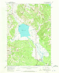
1964 · Henrys Lake
USGS Topo · 1:62,500
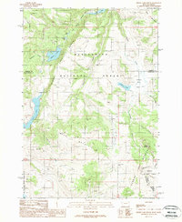
1988 · Hidden Lake Bench
USGS Topo · 1:24,000