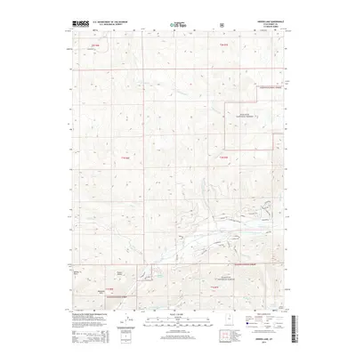
2014 Map of Hidden Lake
USGS Topo · Published 2014About this map
Wasatch National Forest land dominates this section of the Uinta Mountains, where the high-altitude drainage systems of the Weber River and S Fork Chalk Cr define the landscape. The geography is marked by significant topographical shifts, ranging from the Mahogany Hills and Whites Basin in the southwest to the steep drainages of Fish Creek in the northeast. The presence of Hidden Lake and Shingle Mill Lake highlights the glaciated character of these summits, while a network of forest roads and trails, such as E Fremont Trl and Red Fir Way, suggests the area's role in modern resource management and recreation. The Weber River corridor serves as a primary valley floor, collecting numerous tributaries like Perdue Cr and Smith and Morehouse Cr as they descend from the surrounding ridges.
Find a feature on this map
49 named features on this map. Tap any name to fly to it.
Don’t see what you’re looking for? This feature index may not catch every label — zoom into the map to look around manually.
Map Details
Editions of this 2014 Hidden Lake Map
This is the sole edition of this map. No revisions or reprints were ever made.
Other maps of this area
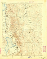
1885 · Salt Lake
USGS Topo · 1:250,000
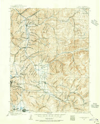
1900 · Coalville
USGS Topo · 1:125,000
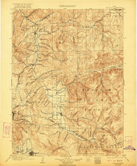
1903 · Coalville
USGS Topo · 1:125,000
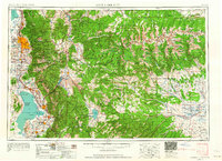
1954 · Salt Lake City
USGS Topo · 1:250,000
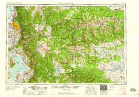
1958 · Salt Lake City
USGS Topo · 1:250,000
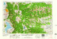
1960 · Salt Lake City
USGS Topo · 1:250,000
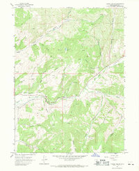
1967 · Turner Hollow
USGS Topo · 1:24,000
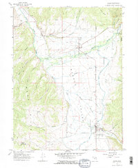
1967 · Kamas
USGS Topo · 1:24,000
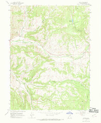
1967 · Upton
USGS Topo · 1:24,000
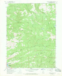
1967 · Crandall Canyon
USGS Topo · 1:24,000