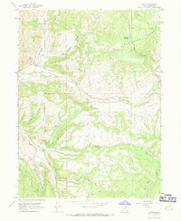
1967 Map of Upton
USGS Topo · Published 1969About this map
Upton serves as the primary settlement on this 1960s survey of northeastern Utah, positioned where Chalk Creek meets the confluence of northern drainages. The landscape is defined by its water system and high country, including Porcupine Ridge and the Porcupine Reservoir. Evidence of local industry is recorded through a Mine and Gravel Pit along the creek valley, while a network of primitive routes like the Porcupine Trail and several Jeep Trails provides access to the higher elevations. The mapping reflects a mountain economy centered on ranching and extraction, with the South Fork Chalk Creek and Fish Creek carving deep drainages through the southern half of the quadrangle. A Pipeline cuts across the northern slopes, signaling the development of infrastructure alongside the traditional rural landscape of Summit County.
Find a feature on this map
17 named features on this map. Tap any name to fly to it.
Don’t see what you’re looking for? This feature index may not catch every label — zoom into the map to look around manually.
Map Details
Editions of this 1967 Upton Map
2 editions found
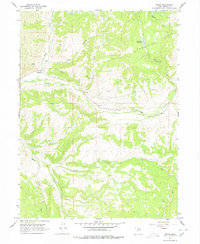
Other maps of this area

1885 · Salt Lake
USGS Topo · 1:250,000

1900 · Coalville
USGS Topo · 1:125,000

1903 · Coalville
USGS Topo · 1:125,000

1954 · Salt Lake City
USGS Topo · 1:250,000

1954 · Ogden
USGS Topo · 1:250,000

1958 · Ogden
USGS Topo · 1:250,000

1958 · Salt Lake City
USGS Topo · 1:250,000

1960 · Ogden
USGS Topo · 1:250,000

1960 · Salt Lake City
USGS Topo · 1:250,000
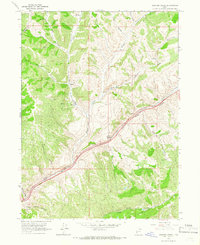
1964 · Heiners Creek
USGS Topo · 1:24,000