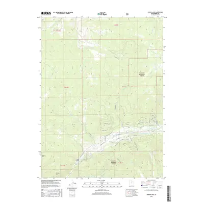
2017 Map of Hidden Lake
USGS Topo · Published 2017About this map
Wasatch National Forest dominates this mountain landscape in Summit County, where the upper reaches of the Weber River and the South Fork Weber River converge. The topography is defined by significant elevation changes, from the heights of the Mahogany Hills down to high-mountain basins and drainages. The map records a modern network of forest access and residential roads such as Jim Bridger Rd and Buffalo Loop, alongside named canyons and hollows that speak to the area's surveying and ranching history. Small bodies of water like Hidden Lake and Shingle Mill Lake are tucked into the drainages of Nobletts Creek and Shingle Mill Creek, illustrating the complex hydrology of the western Uintas. Sparse settlements like Whites Basin and Frazier Hollow indicate the seasonal and low-density nature of human habitation in this alpine environment.
Find a feature on this map
60 named features on this map. Tap any name to fly to it.
Don’t see what you’re looking for? This feature index may not catch every label — zoom into the map to look around manually.
Map Details
Editions of this 2017 Hidden Lake Map
This is the sole edition of this map. No revisions or reprints were ever made.
Other maps of this area
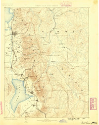
1885 · Salt Lake
USGS Topo · 1:250,000
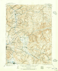
1900 · Coalville
USGS Topo · 1:125,000
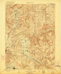
1903 · Coalville
USGS Topo · 1:125,000
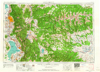
1954 · Salt Lake City
USGS Topo · 1:250,000
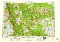
1958 · Salt Lake City
USGS Topo · 1:250,000
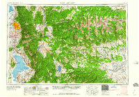
1960 · Salt Lake City
USGS Topo · 1:250,000
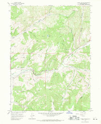
1967 · Turner Hollow
USGS Topo · 1:24,000
1967 · Kamas
USGS Topo · 1:24,000
1967 · Upton
USGS Topo · 1:24,000
1967 · Crandall Canyon
USGS Topo · 1:24,000