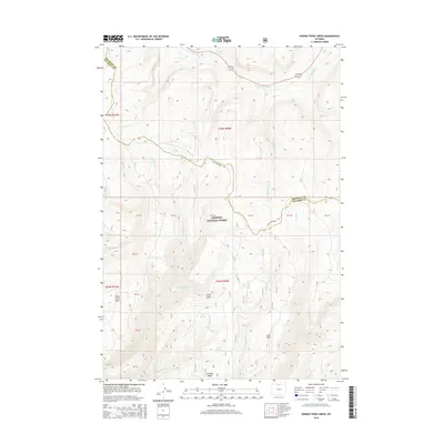
2015 Map of Hidden Tepee Creek
USGS Topo · Published 2015About this map
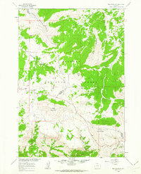
Bighorn National Forest dominates this landscape along the high-elevation boundary of Sheridan and Big Horn counties. The topography is defined by significant plateaus and drainage systems, most notably the towering Hunt Mountain and the expansive Horse Creek Mesa. A complex network of waterways, including the N Tongue River and Hidden Tepee Cr, carves through the terrain, creating distinct geographic markers like Torry Gulch and Red Canyon Cr. The inclusion of various water sources such as Whedon Spring, Wolf Springs, and Deep Spring indicates a landscape where water management and natural springs are critical focal points. High-altitude meadows and flats, including Long Park and Sunlight Mesa, provide a clear picture of the land use patterns and natural openings found within the forest during the early twenty-first century.
Find a feature on this map
38 named features on this map. Tap any name to fly to it.
Don’t see what you’re looking for? This feature index may not catch every label — zoom into the map to look around manually.
Map Details
Editions of this 2015 Hidden Tepee Creek Map
This is the sole edition of this map. No revisions or reprints were ever made.
Other maps of this area
1898 · Bald Mountain
USGS Topo · 1:125,000
1901 · Bald Mountain
USGS Topo · 1:125,000

1955 · Sheridan
USGS Topo · 1:250,000

1958 · Sheridan
USGS Topo · 1:250,000
1960 · Shell Falls
USGS Topo · 1:24,000
1960 · Black Mountain
USGS Topo · 1:24,000
1960 · Granite Pass
USGS Topo · 1:24,000
1960 · Hidden Tepee Creek
USGS Topo · 1:24,000
1960 · Shell
USGS Topo · 1:24,000
1960 · Bald Mountain
USGS Topo · 1:24,000