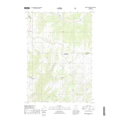
2017 Map of Hidden Tepee Creek
USGS Topo · Published 2017About this map
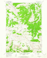
Bighorn National Forest lands dominate this high-altitude landscape along the border of Sheridan and Big Horn counties. The terrain is defined by dramatic landforms like Horse Creek Mesa and Sunlight Mesa, where seasonal drainages such as Hidden Tepee Creek and the N Tongue River have carved deep into the northern Wyoming wilderness. The 2017 survey reveals a network of vital water sources in an arid environment, including Whedon Spring, Wolf Springs, and Deer Spring. To the south, Long Park and Tall Tree Vista suggest more open vantage points, while the confluence of Cottonwood Creek and the E Fork Horse Cr illustrates the complex hydrologic pattern of the Bighorn range before these waters reach the lower valleys.
Find a feature on this map
37 named features on this map. Tap any name to fly to it.
Don’t see what you’re looking for? This feature index may not catch every label — zoom into the map to look around manually.
Map Details
Editions of this 2017 Hidden Tepee Creek Map
This is the sole edition of this map. No revisions or reprints were ever made.
Other maps of this area
1898 · Bald Mountain
USGS Topo · 1:125,000
1901 · Bald Mountain
USGS Topo · 1:125,000

1955 · Sheridan
USGS Topo · 1:250,000

1958 · Sheridan
USGS Topo · 1:250,000
1960 · Shell Falls
USGS Topo · 1:24,000
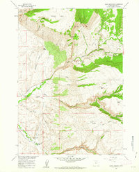
1960 · Black Mountain
USGS Topo · 1:24,000
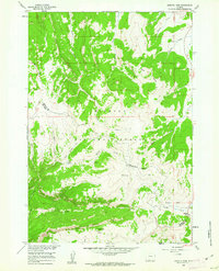
1960 · Granite Pass
USGS Topo · 1:24,000
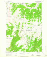
1960 · Hidden Tepee Creek
USGS Topo · 1:24,000
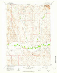
1960 · Shell
USGS Topo · 1:24,000
1960 · Bald Mountain
USGS Topo · 1:24,000