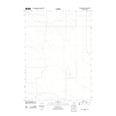
2012 Map of Hidden Timber SE
USGS Topo · Published 2012About this map
The Todd County landscape in this 2012 study is defined by the drainage basins of two primary watercourses, which shape the underlying topography of the Okreek Segment. Flowing through the northern reaches of the quadrangle, Eagle Cr serves as a central geographic landmark for this part of South Dakota. To the south, the terrain is marked by the winding path of Sand Cr, which cuts across the lower portion of the sheet. The map illustrates a contemporary pattern of land management and sparse development characteristic of the region, emphasizing the importance of these natural waterways in an area where the elevation and creek beds dictate the placement of local roads and boundaries.
Find a feature on this map
2 named features on this map. Tap any name to fly to it.
Don’t see what you’re looking for? This feature index may not catch every label — zoom into the map to look around manually.
Map Details
Editions of this 2012 Hidden Timber SE Map
This is the sole edition of this map. No revisions or reprints were ever made.
Other maps of this area
1950 · Norden
USGS Topo · 1:62,500
1950 · Sparks
USGS Topo · 1:62,500
1952 · Norden
USGS Topo · 1:62,500

1955 · Martin
USGS Topo · 1:250,000

1957 · Valentine
USGS Topo · 1:250,000

1958 · Martin
USGS Topo · 1:250,000

1959 · Valentine
USGS Topo · 1:250,000
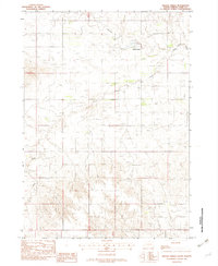
1982 · Hidden Timber
USGS Topo · 1:24,000
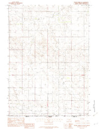
1982 · Hidden Timber SE
USGS Topo · 1:24,000
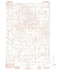
1982 · Keyapaha NW
USGS Topo · 1:24,000