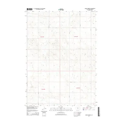
2015 Map of Hidden Timber SE
USGS Topo · Published 2015About this map
Eagle Cr and Sand Cr define the drainage patterns of this rural South Dakota landscape within the Rosebud Indian Reservation. The area is characterized by a sparse network of section-line roads, such as 290th Ave and 288th Ave, which partition the land into the rectangular sections of the Public Land Survey System. The township boundaries of t36n r26w and t35n r25w converge here, reflecting the organized settlement patterns typical of the Great Plains. Apart from the occasional throughway like Cr-125 or the specifically named View Rd, the map reveals a terrain primarily shaped by natural draws and grazing land, with few concentrated developments. This 2015 U.S. Geological Survey record captures the subtle intersections of county infrastructure and the riparian corridors of the Okreek segment.
Find a feature on this map
16 named features on this map. Tap any name to fly to it.
Don’t see what you’re looking for? This feature index may not catch every label — zoom into the map to look around manually.
Map Details
Editions of this 2015 Hidden Timber SE Map
This is the sole edition of this map. No revisions or reprints were ever made.
Other maps of this area
1950 · Norden
USGS Topo · 1:62,500
1950 · Sparks
USGS Topo · 1:62,500
1952 · Norden
USGS Topo · 1:62,500

1955 · Martin
USGS Topo · 1:250,000

1957 · Valentine
USGS Topo · 1:250,000

1958 · Martin
USGS Topo · 1:250,000

1959 · Valentine
USGS Topo · 1:250,000
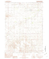
1982 · Hidden Timber
USGS Topo · 1:24,000
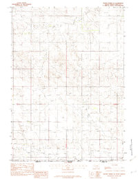
1982 · Hidden Timber SE
USGS Topo · 1:24,000
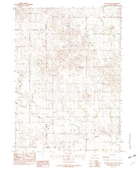
1982 · Keyapaha NW
USGS Topo · 1:24,000