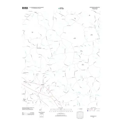
2013 Map of Hiddenite
USGS Topo · Published 2013About this map
The S Yadkin River carves a winding path through this Piedmont landscape, serving as the central geographic anchor for the rural communities of northern Iredell County and southern Alexander County. The settlement of Hiddenite sits along the southern rail and road corridor, its namesake derived from the rare mineral found in the local geology. To the north, the terrain transitions into a series of prominent peaks and ridges, including Asbury Mountain, Lackey Mountain, and the isolated Buck Knob.
Find a feature on this map
182 named features on this map. Tap any name to fly to it.
Don’t see what you’re looking for? This feature index may not catch every label — zoom into the map to look around manually.
Map Details
Editions of this 2013 Hiddenite Map
This is the sole edition of this map. No revisions or reprints were ever made.
Other maps of this area

1889 · Wilkesboro
USGS Topo · 1:125,000

1891 · Wilkesboro
USGS Topo · 1:125,000

1891 · Yadkinville
USGS Topo · 1:125,000

1893 · Statesville
USGS Topo · 1:125,000

1893 · Yadkinville
USGS Topo · 1:125,000

1895 · Hickory
USGS Topo · 1:125,000

1953 · Charlotte
USGS Topo · 1:250,000

1953 · Winston-Salem
USGS Topo · 1:250,000

1954 · Charlotte
USGS Topo · 1:250,000

1955 · Winston-Salem
USGS Topo · 1:250,000