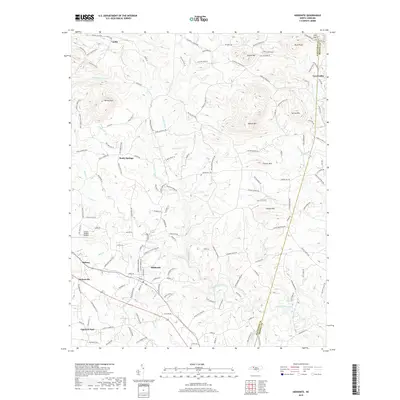
2019 Map of Hiddenite
USGS Topo · Published 2019About this map
Emerald Hollow Mine serves as a centerpiece of this Alexander County landscape, reflecting the region's unique geological heritage near Hiddenite. The terrain is defined by a series of prominent peaks and ridges, including Asbury Mtn, Fox Mtn, and the distinctive Rocky Face to the northwest. This 2019 survey documents a network of rural communities such as Vashti, Love Valley, and Rocky Springs, connected by winding roads that follow the natural contours of the Brushy Mountains foothills.
Find a feature on this map
162 named features on this map. Tap any name to fly to it.
Don’t see what you’re looking for? This feature index may not catch every label — zoom into the map to look around manually.
Map Details
Editions of this 2019 Hiddenite Map
This is the sole edition of this map. No revisions or reprints were ever made.
Other maps of this area

1889 · Wilkesboro
USGS Topo · 1:125,000

1891 · Wilkesboro
USGS Topo · 1:125,000

1891 · Yadkinville
USGS Topo · 1:125,000

1893 · Statesville
USGS Topo · 1:125,000

1893 · Yadkinville
USGS Topo · 1:125,000

1895 · Hickory
USGS Topo · 1:125,000

1953 · Charlotte
USGS Topo · 1:250,000

1953 · Winston-Salem
USGS Topo · 1:250,000

1954 · Charlotte
USGS Topo · 1:250,000

1955 · Winston-Salem
USGS Topo · 1:250,000