
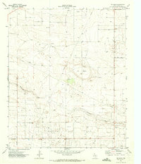
1971 Map of Higginbotham
USGS Topo · Published 1973About this map
Wasson Oil Field and the George Allen Oil Field dominate this West Texas landscape along the Yoakum Co Gaines Co border. Surveyed in the early 1970s, the map reveals a vast network of infrastructure supporting the regional petroleum industry, including numerous Well sites and a prominent Aqueduct system. The small settlements of Higginbotham and Allred serve as local anchors, while the terrain is marked by dry watercourses such as Wards Draw and the broad Draw feature in the south.
Find a feature on this map
15 named features on this map. Tap any name to fly to it.
Don’t see what you’re looking for? This feature index may not catch every label — zoom into the map to look around manually.
Map Details
Editions of this 1971 Higginbotham Map
This is the sole edition of this map. No revisions or reprints were ever made.
Other maps of this area

1954 · Hobbs
USGS Topo · 1:250,000

1954 · Brownfield
USGS Topo · 1:250,000

1958 · Brownfield
USGS Topo · 1:250,000

1958 · Hobbs
USGS Topo · 1:250,000

1962 · Brownfield
USGS Topo · 1:250,000

1969 · Humble City NE
USGS Topo · 1:24,000

1969 · Humble City SE
USGS Topo · 1:24,000

1970 · Prairieview SE
USGS Topo · 1:24,000

1970 · Humble City SE
USGS Topo · 1:24,000
1971 · Ink Basin
USGS Topo · 1:24,000