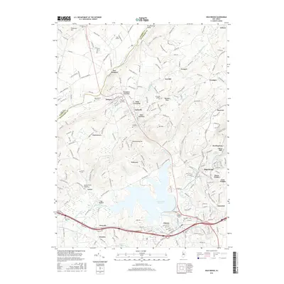
2016 Map of High Bridge
USGS Topo · Published 2016About this map
The Musconetcong River carves a path through the northwest, defining the Musconetcong Valley as it flows past established settlements like New Hampton and Hampton. This region of Hunterdon and Warren counties exhibits a landscape shaped by both early industry and modern infrastructure. The Spruce Run Reservoir dominates the central terrain, its waters covering land south of Spruce Run village and north of Clinton. Near High Bridge, the waters of Lake Solitude and the presence of Readingsburg and Stone Mill speak to the area's historic milling and water-power roots.
Find a feature on this map
225 named features on this map. Tap any name to fly to it.
Don’t see what you’re looking for? This feature index may not catch every label — zoom into the map to look around manually.
Map Details
Editions of this 2016 High Bridge Map
This is the sole edition of this map. No revisions or reprints were ever made.
Other maps of this area

1888 · Hackettstown
USGS Topo · 1:62,500

1890 · Easton
USGS Topo · 1:62,500

1890 · High Bridge
USGS Topo · 1:62,500

1891 · Easton
USGS Topo · 1:62,500

1891 · Delaware Water Gap
USGS Topo · 1:62,500

1893 · Delaware Water Gap
USGS Topo · 1:62,500

1894 · Hackettstown
USGS Topo · 1:62,500

1898 · Hackettstown
USGS Topo · 1:62,500

1898 · High Bridge
USGS Topo · 1:62,500

1900 · Raritan
USGS Topo · 1:125,000