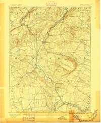
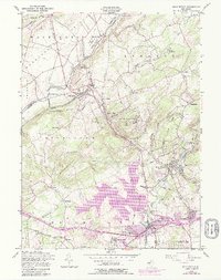
1890 Map of High Bridge
USGS Topo · Published 1896About this map
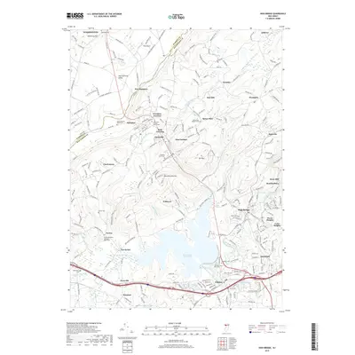
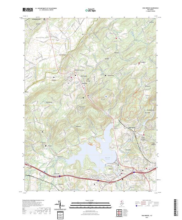
Cushetunk Mountain forms a dramatic crescent around Round Valley, a prominent natural basin that dominates the eastern portion of this Hunterdon County terrain. In the late 19th century, this region served as a critical nexus for the Central Railroad of New Jersey and the Lehigh Valley Railroad, which facilitated the movement of iron and goods through steep valleys. The town of High Bridge sits at the intersection of these major lines and the South Branch of Raritan River. Small agrarian and industrial settlements like Glen Gardner, Annandale, and New Germantown are shown connected by a dense web of early roads and rail branches. To the west, the Musconetcong River carves the boundary through the highlands, while features like Packers Island and Spruce Run provide evidence of the complex waterway systems that once powered local industry.
Find a feature on this map
91 named features on this map. Tap any name to fly to it.
Don’t see what you’re looking for? This feature index may not catch every label — zoom into the map to look around manually.
Map Details
Editions of this 1890 High Bridge Map
2 editions found

Historical Maps of Hillsborough Township Through Time
10 maps found
1890 High Bridge
Hunterdon County, NJ
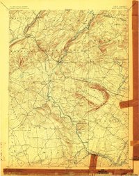
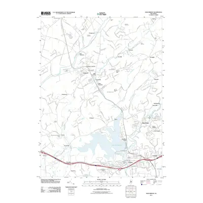
1898 High Bridge
Hunterdon County, NJ
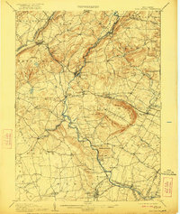
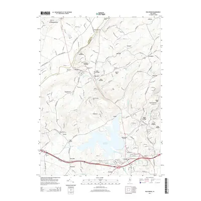
1905 High Bridge
Hunterdon County, NJ
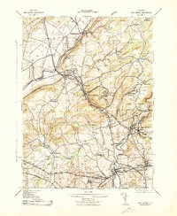
1943 High Bridge
Hunterdon County, NJ
1954 High Bridge
Hunterdon County, NJ
2011 High Bridge
Hunterdon County, NJ
2014 High Bridge
Hunterdon County, NJ
2016 High Bridge
Hunterdon County, NJ
2019 High Bridge
Hunterdon County, NJ
2023 High Bridge
Hunterdon County, NJ