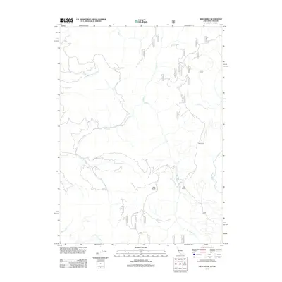
2012 Map of High Divide
USGS Topo · Published 2012About this map
The ridge line known as High Divide forms a significant topographic spine near the California-Oregon border, separating complex drainage systems in this remote corner of Del Norte County. The landscape is defined by the headwaters of several major waterways, including the South Fork Winchuck River to the north and the North Fork Smith River to the southeast. Movement through this upland area relies on established routes like Low Divide Rd and Rowdy Creek Rd, which connect notable landmarks such as Stone Corral and Low Divide. The map illustrates a network of Forest Service roads, such as 18n22 and 17n21, threading between isolated features like Wimer Spring and the curiously named Hole-In-The Ground. This network suggests a history of timber management and watershed protection across the varying terrain of Rowdy Creek and Hardscrabble Creek.
Find a feature on this map
43 named features on this map. Tap any name to fly to it.
Don’t see what you’re looking for? This feature index may not catch every label — zoom into the map to look around manually.
Map Details
Editions of this 2012 High Divide Map
This is the sole edition of this map. No revisions or reprints were ever made.
Other maps of this area

1917 · Kerby
USGS Topo · 1:125,000

1918 · Kerby
USGS Topo · 1:125,000

1922 · Preston Peak
USGS Topo · 1:125,000

1929 · Crescent City
USGS Topo · 1:125,000

1945 · Kerby
USGS Topo · 1:125,000

1945 · Gasquet
USGS Topo · 1:62,500

1945 · Point St. George
USGS Topo · 1:62,500

1948 · Weed
USGS Topo · 1:250,000

1949 · Eureka
USGS Topo · 1:250,000

1950 · Weed
USGS Topo · 1:250,000