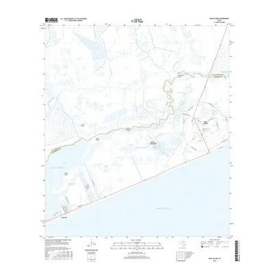
2016 Map of High Island
USGS Topo · Published 2016About this map
Bolivar Peninsula projects into the Gulf of Mexico on this survey, highlighting a coastal landscape defined by salt marshes and intricate bayous. The settlement of High Island sits atop a rare topographic rise, surrounded by low-lying wetlands including Horseshoe Marsh and the Lower Marsh. This area is characterized by the engineered path of the Intracoastal Waterway, which cuts through the native drainages of East Bay Bayou and Mud Bayou. Along the coastline, the community of Gilchrist marks the narrow strip of land between the Gulf and East Bay. Local landmarks like Smith Springs and Knoll Ponds suggest the delicate balance of fresh and salt water across this coastal prairie. The map provides a clear view of the road networks serving these communities, from Audubon Ave to the numerous local routes like Oilfield Rd and Old Hwy 87.
Find a feature on this map
52 named features on this map. Tap any name to fly to it.
Don’t see what you’re looking for? This feature index may not catch every label — zoom into the map to look around manually.
Map Details
Editions of this 2016 High Island Map
This is the sole edition of this map. No revisions or reprints were ever made.
Other maps of this area
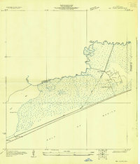
1931 · High Island
USGS Topo · 1:24,000
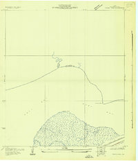
1931 · Frozen Point
USGS Topo · 1:24,000
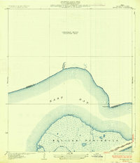
1933 · Frozen Point
USGS Topo · 1:31,680
1933 · Caplen
USGS Topo · 1:31,680
1943 · High Island
USGS Topo · 1:31,680
1943 · Frozen Point
USGS Topo · 1:24,000
1943 · Caplen
USGS Topo · 1:24,000
1943 · Sea Breeze
USGS Topo · 1:24,000
1945 · Sea Breeze
USGS Topo · 1:31,680
1950 · Houston
USGS Topo · 1:250,000