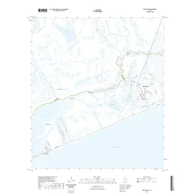
2022 Map of High Island
USGS Topo · Published 2022About this map
The settlement of High Island stands as a distinct topographic rise on the upper Texas coast, surrounded by a complex network of coastal wetlands and bayous. This map captures the area's intricate hydrologic system, where East Bay Bayou and Brushy Bend Bayou meander through features like Horseshoe Bend and the Knoll Ponds. To the southwest, the coastal community of Gilchrist sits along the Gulf shoreline, positioned between the Intracoastal Waterway and the Gulf of Mexico.
Find a feature on this map
51 named features on this map. Tap any name to fly to it.
Don’t see what you’re looking for? This feature index may not catch every label — zoom into the map to look around manually.
Map Details
Editions of this 2022 High Island Map
This is the sole edition of this map. No revisions or reprints were ever made.
Other maps of this area

1931 · High Island
USGS Topo · 1:24,000

1931 · Frozen Point
USGS Topo · 1:24,000

1933 · Frozen Point
USGS Topo · 1:31,680

1933 · Caplen
USGS Topo · 1:31,680

1943 · High Island
USGS Topo · 1:31,680

1943 · Frozen Point
USGS Topo · 1:24,000
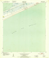
1943 · Caplen
USGS Topo · 1:24,000

1943 · Sea Breeze
USGS Topo · 1:24,000

1945 · Sea Breeze
USGS Topo · 1:31,680

1950 · Houston
USGS Topo · 1:250,000