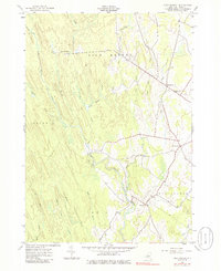
1943 Map of High Market
USGS Topo · Published 1985About this map
Michigan Mills and the surrounding Lewis County uplands are defined by a dense network of watercourses and early rural settlements in the years following World War II. The landscape is dominated by the East Branch Fish Creek and its many tributaries, including Alder Creek and Sucker Creek, which flow through the townships of High Market, Osceola, Lewis, and West Turin.
Find a feature on this map
25 named features on this map. Tap any name to fly to it.
Don’t see what you’re looking for? This feature index may not catch every label — zoom into the map to look around manually.
Map Details
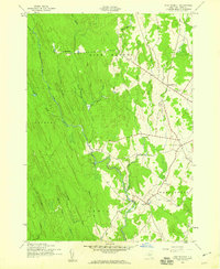
Editions of this 1943 High Market Map
Other maps of this area

1904 · Boonville
USGS Topo · 1:62,500

1905 · Port Leyden
USGS Topo · 1:62,500

1905 · Taberg
USGS Topo · 1:62,500

1906 · Highmarket
USGS Topo · 1:62,500

1907 · Port Leyden
USGS Topo · 1:62,500

1940 · Port Leyden
USGS Topo · 1:62,500

1943 · East Florence
USGS Topo · 1:31,680
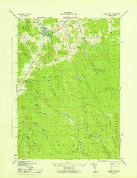
1943 · Sears Pond
USGS Topo · 1:31,680
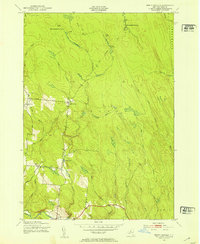
1943 · North Osceola
USGS Topo · 1:24,000

1943 · High Market
USGS Topo · 1:24,000