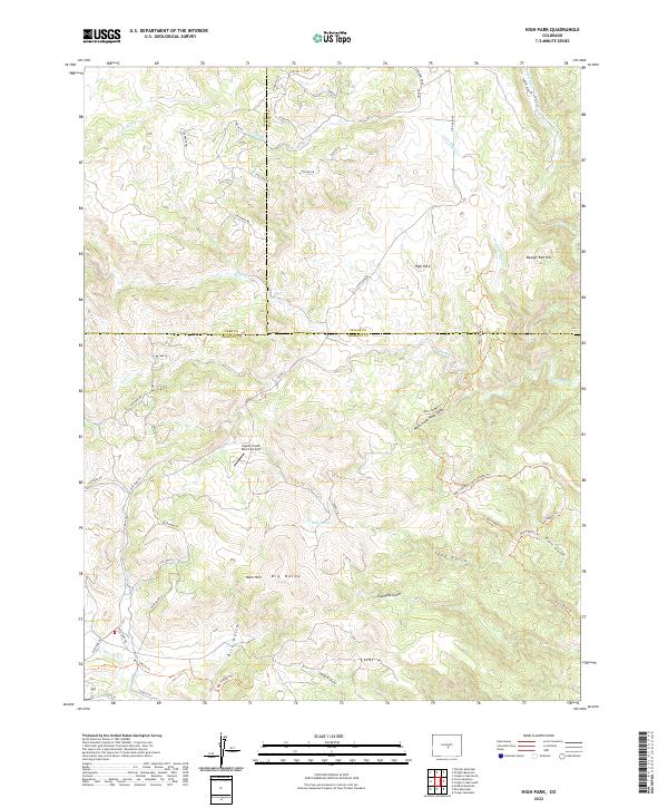
2022 Map of High Park
USGS Topo · Published 2022About this map
High Park serves as a central reference point in this interior Colorado landscape, where the convergence of Park, Teller, and Fremont counties marks a complex topographic boundary. The terrain is defined by a dense network of drainages and named landmarks, including the prominent Big Baldy and the curiously named Booger Red Hill. To the south, the Bare Hills overlook a series of deep cuts such as Rice Gulch, Espinosa Gulch, and Hole in the Rock Gulch, illustrating the erosional character of the high-altitude basin.
Find a feature on this map
56 named features on this map. Tap any name to fly to it.
Don’t see what you’re looking for? This feature index may not catch every label — zoom into the map to look around manually.
Map Details
Editions of this 2022 High Park Map
This is the sole edition of this map. No revisions or reprints were ever made.
Other maps of this area

1894 · Pikes Peak
USGS Topo · 1:125,000

1901 · Pikes Peak
USGS Topo · 1:125,000

1901 · Pikes Peak
USGS Topo · 1:62,500

1942 · Cover Mtn.
USGS Topo · 1:62,500

1948 · Cover Mtn.
USGS Topo · 1:62,500

1951 · Cripple Creek South
USGS Topo · 1:24,000

1951 · Cripple Creek North
USGS Topo · 1:24,000

1954 · Cooper Mountain
USGS Topo · 1:24,000

1954 · Pueblo
USGS Topo · 1:250,000

1957 · Pueblo
USGS Topo · 1:250,000