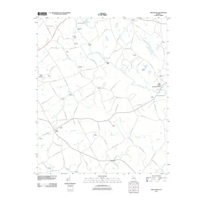
2011 Map of High Shoals
USGS Topo · Published 2011About this map
The Apalachee River carves a winding path through this corner of Georgia, defining a landscape of agricultural tradition and rural industry. The presence of Snows Mill at a sharp bend in the river speaks to the historical reliance on water power that once anchored local economies. To the east, the settlement of North High Shoals sits near the river banks, while the small communities of Good Hope and Braswell anchor the western and southern reaches of the map.
Find a feature on this map
100 named features on this map. Tap any name to fly to it.
Don’t see what you’re looking for? This feature index may not catch every label — zoom into the map to look around manually.
Map Details
Editions of this 2011 High Shoals Map
This is the sole edition of this map. No revisions or reprints were ever made.
Other maps of this area

1896 · Monroe
USGS Topo · 1:125,000

1953 · Athens
USGS Topo · 1:250,000

1958 · Athens
USGS Topo · 1:250,000

1959 · Athens
USGS Topo · 1:250,000

1963 · Athens
USGS Topo · 1:250,000

1964 · Athens West
USGS Topo · 1:24,000

1964 · High Shoals
USGS Topo · 1:24,000

1964 · Watkinsville
USGS Topo · 1:24,000

1964 · Monroe
USGS Topo · 1:24,000

1964 · Winder South
USGS Topo · 1:24,000