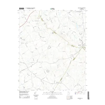
2014 Map of High Shoals
USGS Topo · Published 2014About this map
The Apalachee River carves a winding path through this corner of Georgia, serving as the natural boundary between Oconee, Walton, and Morgan Counties. The landscape is defined by its transition from agricultural creek bottoms to elevated landmarks like Turkey Creek Mtn and the distinct river bend at Horseshoe Bend. Small settlements and historic crossings like Snows Mill, Moores Bridge, and High Shoals reflect the area's rural heritage and reliance on water power and river access.
Find a feature on this map
131 named features on this map. Tap any name to fly to it.
Don’t see what you’re looking for? This feature index may not catch every label — zoom into the map to look around manually.
Map Details
Editions of this 2014 High Shoals Map
This is the sole edition of this map. No revisions or reprints were ever made.
Other maps of this area

1896 · Monroe
USGS Topo · 1:125,000

1953 · Athens
USGS Topo · 1:250,000

1958 · Athens
USGS Topo · 1:250,000

1959 · Athens
USGS Topo · 1:250,000

1963 · Athens
USGS Topo · 1:250,000

1964 · Athens West
USGS Topo · 1:24,000

1964 · High Shoals
USGS Topo · 1:24,000

1964 · Watkinsville
USGS Topo · 1:24,000

1964 · Monroe
USGS Topo · 1:24,000

1964 · Winder South
USGS Topo · 1:24,000